
Agricultural Claim: Flood Damage to a Moringa Plantation

Overview
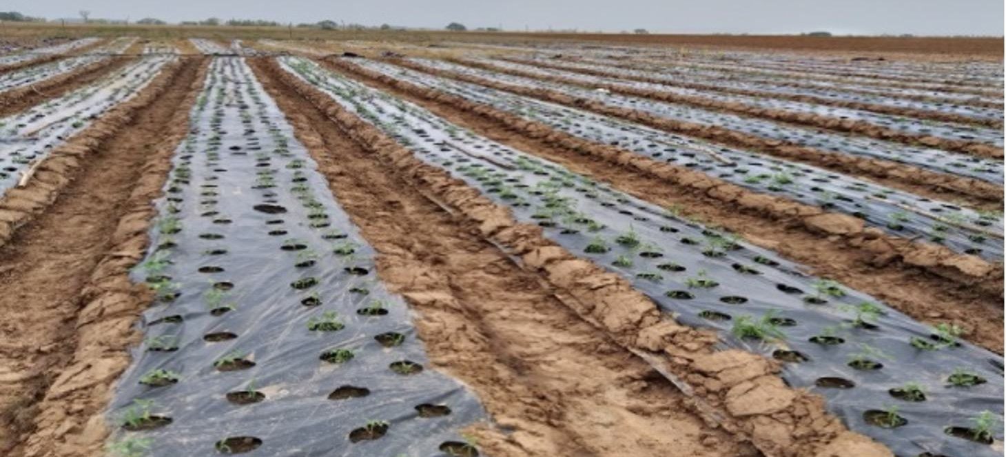
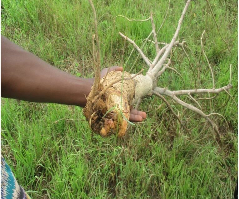
Heavy rainfall and windstorms damaged over 3,000 moringa trees across about 2.9 hectares of a large-scale farm.
Our approach
We used GPS mapping to measure the affected land precisely and consulted agronomy experts to establish the extent of the loss and which crops could be saved.
Findings
Our analysis of input costs and policy terms showed that the farm was underinsured, and that part of the crop was salvageable.
Outcome
We adjusted the claim to reflect accurate compensation, applying underinsurance and the policy excess.
Key takeaway
Accurate land measurement and agronomic input turn agricultural claims from estimates into evidence.
No items found.












Independent loss adjusters since 1994. Member of the Institute of Loss Adjusters of Nigeria (ILAN).
Subscribe
New insights from our claims work, by email.